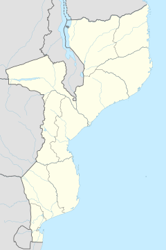
Manocha
Manocha | |
|---|---|
| Coordinates: 12°41′22″S 40°05′06″E / 12.68944°S 40.08500°E | |
| Country | |
| Province | Cabo Delgado Province |
| District | Ancuabe District |
| Time zone | UTC+2 (Central Africa Time) |
Manocha is a village in Ancuabe District in Cabo Delgado Province in northeastern Mozambique.[1]
Geography[edit]
It is located northeast of the district capital of Ancuabe. Manocha is located 2.4 miles (3.9 km) from Meurra, 0.8 miles (1.3 km) from Nomapa, 1 mile (1.6 km) from Reva, 0.8 miles (1.3 km) from Muigima and 1.2 miles (1.9 km) from Namangoma
Transport[edit]
The nearest airport is 31 miles (50 km) away at Pemba Airport.
References[edit]
- ^ "NGA GeoName Database". National Geospatial-Intelligence Agency. Archived from the original on 2008-06-08. Retrieved 2008-06-26.
External links[edit]

