
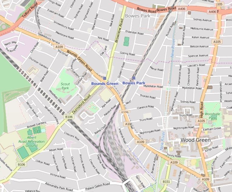
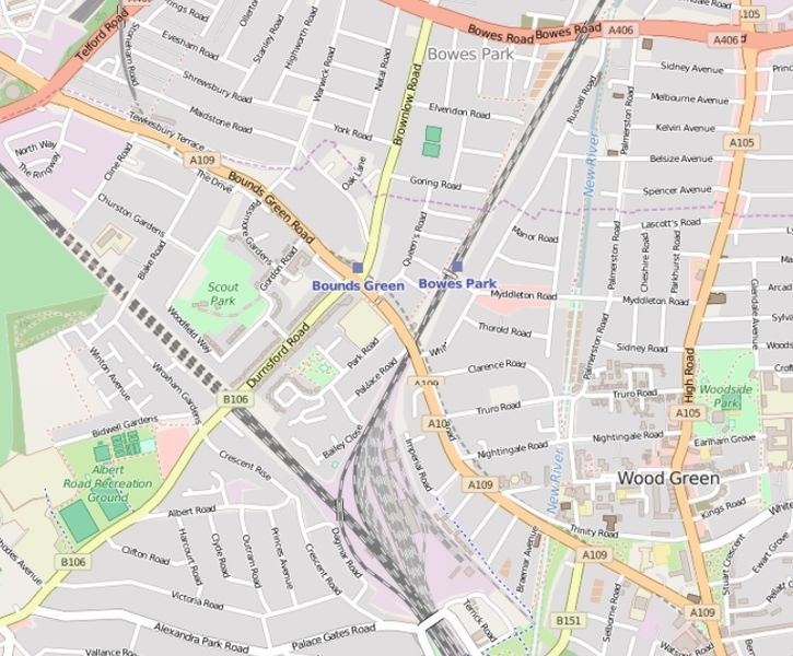
File:Bounds Green Road street map.jpg
Size of this preview: 725 × 600 pixels. Other resolutions: 290 × 240 pixels | 580 × 480 pixels | 764 × 632 pixels.
Original file (764 × 632 pixels, file size: 364 KB, MIME type: image/jpeg)
| This is a file from the Wikimedia Commons. Information from its description page there is shown below. Commons is a freely licensed media file repository. You can help. |
| Description |
English: Bounds Green Road street map. |
| Date | |
| Source | http://www.openstreetmap.org/#map=15/51.6050/-0.1289 |
| Author | Open Street Map |
| Permission (Reusing this file) |
This file is licensed under the Creative Commons Attribution-Share Alike 2.0 Generic license.
|
File history
Click on a date/time to view the file as it appeared at that time.
| Date/Time | Thumbnail | Dimensions | User | Comment | |
|---|---|---|---|---|---|
| current | 19:09, 11 April 2016 | | 764 × 632 (364 KB) | Philafrenzy | {{Information |Description ={{en|1=Bounds Green Road street map.}} |Source =http://www.openstreetmap.org/#map=15/51.6050/-0.1289 |Author =Open Street Map |Date =11 April 2016 |Permission ={{CC-BY-SA-2.0}} and openstreet... |
File usage
The following pages on the English Wikipedia use this file (pages on other projects are not listed):
Global file usage
The following other wikis use this file:
- Usage on www.wikidata.org